Virtual Design of Facility Modifications with the Help of 3D Laser Scanning
Location: Columbus, Mississippi
Task: A plastics, coatings and adhesives manufacturer was modifying five 30' x 30' areas in their plant by retrofitting new piping, valves and flanges. TruePoint’s task was to 3D laser scan the structural steel, equipment and MEP piping in the designated areas and create a 3D model to help the client plan the routes of the new piping.
Challenge: Our client provided engineering, planning and construction management services to this manufacturer. They required a 3D model to build a virtual design and ensure there are no clashes during the retrofitting of the new piping. Due to the complexity of the space, it was not feasible to create as-built documentation the “old fashioned way”.
Solution: TruePoint used the Leica P50 ScanStation and the RTC360 laser scanner to collect data in the 5 areas. 65 laser scans were taken in one day on site to provide complete as built documentation.
Deliverable: TruePoint provided the client with point cloud files, TruView/JetStream files, and an LOD 200 Structural/MEP 3D model. The model included structural features including columns and beams within the scanning areas and the main process pipe running throughout the areas.
Added Value: Autodesk software provides clients the opportunity for clash detection. Real-time collision detection can be performed during designing which gives clients clues to improve their design among multiple building systems and ultimately prevent costly remedies during construction.
TruePoint has earned a national reputation for delivering excellent service in the 3D laser scanning industry. For 3D laser scanning services in Mississippi call 601-691-0007 or email jackson@truepointscanning.com.
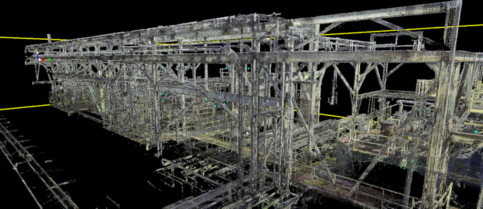
Axonometric view of colorized point cloud.
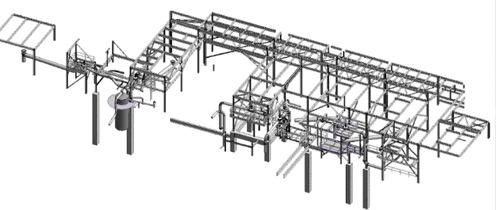
Revit model of existing framing and piping in the client’s scope of work.
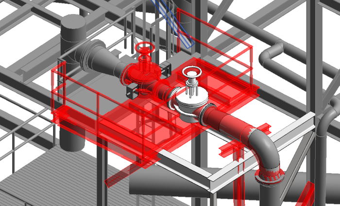
Revit model showing items to be removed in red.
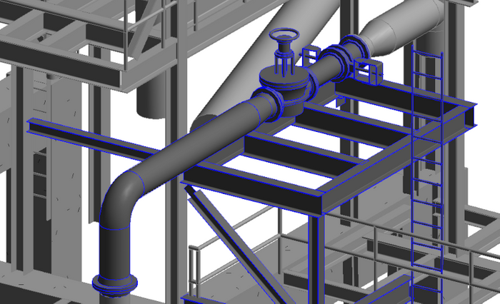
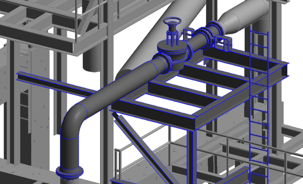
Revit model showing items to be added in blue.
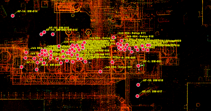
Intensity map plan view showing scanner locations.
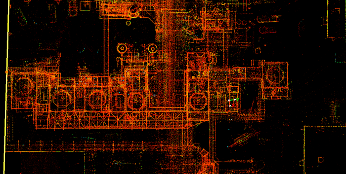
Intensity map point cloud plan view.
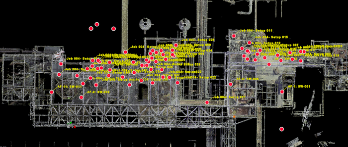
Point cloud of existing pipe support, top view with plan locations.
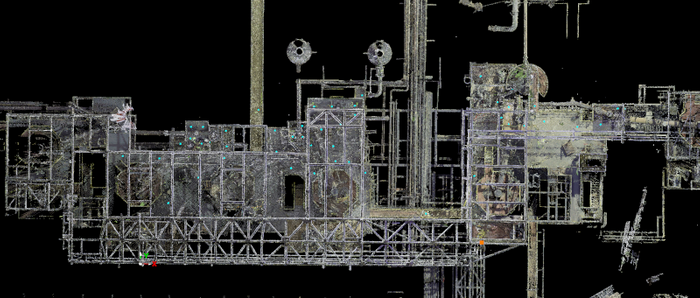
Colorized point cloud of existing pipe support structure, top view.
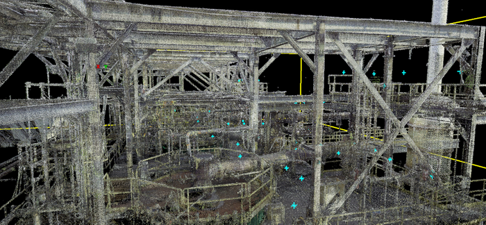
Colorized point cloud of existing pipe support structure framing.

